Loading...
Interactive Scripture Maps and Biblical Journeys
Explore an interactive map of the ancient world with hundreds of biblical locations, journey paths for Abraham, Moses, Paul, and other key figures, and historical context for every site mentioned in scripture.
What is the Scripture Map?
The Scripture Map is a fully interactive geographic tool that places every major biblical location on a detailed map of the ancient Near East, Mediterranean, and surrounding regions. Unlike static maps printed in the back of a Bible, this tool lets you zoom, pan, search, and filter locations by volume -- Old Testament, New Testament, Book of Mormon, Doctrine and Covenants, and Pearl of Great Price -- so you can see the physical world in which scripture events unfolded.
Geography is one of the most overlooked dimensions of scripture study. When you understand that Nazareth sits in the hills of Lower Galilee while Capernaum lies on the shore of the Sea of Galilee, the Savior's ministry takes on physical reality. When you trace the Exodus route from Egypt through the Sinai wilderness to the borders of Canaan, the forty-year journey becomes tangible. The Scripture Map bridges the gap between ancient text and the real landscape in which those events occurred.
For Latter-day Saints, understanding biblical geography strengthens testimony by grounding scripture in the physical world. The Abrahamic covenant was made at a specific place. The temple Solomon built stood on a specific hill. Paul's missionary journeys followed specific Roman roads through specific cities. When you can see these locations and the distances between them, the scriptural narrative becomes vivid and concrete in ways that text alone cannot achieve.
The Scripture Map includes over 25 pre-built journey routes that you can activate with a single click. Each route draws the path of a major biblical figure on the map, with stops annotated by scripture references and historical description. You can also click any individual location to read about its significance, its modern name, and the events that took place there.
How It Works
1
Explore the map
Pan and zoom across the ancient Near East and Mediterranean. Locations are color-coded by scripture volume so you can see Old Testament, New Testament, and Restoration sites at a glance.
2
Activate journey routes
Select from over 25 journey paths including Abraham's migration, the Exodus, David's conquests, the Savior's ministry, and Paul's missionary journeys. Each route animates on the map with annotated stops.
3
Read location details
Click any location pin to see its modern name, historical significance, associated scripture events, and direct references to the biblical text.
Key Features
Hundreds of Biblical Locations
Every major city, mountain, river, sea, and region mentioned in the Old and New Testaments plotted with precise coordinates and historical detail.
25+ Journey Routes
Pre-built animated paths for Abraham, Jacob, Moses, Joshua, Ruth, David, Elijah, Jesus, Paul, and many more, each with annotated stops and scripture references.
Multi-Volume Coverage
Locations and events from all five standard works displayed on a single map, color-coded by volume for instant visual distinction.
Scripture-Linked Events
Each location connects to specific scripture passages with excerpts and descriptions so you can read the text alongside the geography.
Frequently Asked Questions
Where did Abraham travel in the Bible?
Abraham's journey began in Ur of the Chaldees in southern Mesopotamia (modern Iraq). He traveled northwest to Haran, then south into Canaan, continuing to Egypt during a famine before returning to settle near Hebron. His total journey covered over 1,500 miles. The Scripture Map traces this entire route with annotated stops at each major location mentioned in Genesis.
What is the route of the Exodus from Egypt?
The Exodus route led from Rameses in the eastern Nile Delta, south through the wilderness to the Red Sea crossing, then to Mount Sinai in the southern Sinai Peninsula. After receiving the law, Israel wandered for forty years before approaching the Promised Land from the east, crossing the Jordan River near Jericho. The Scripture Map displays this complete route with key encampments marked.
How many missionary journeys did Paul take?
The Apostle Paul undertook three major missionary journeys recorded in the book of Acts, plus a final voyage to Rome as a prisoner. His first journey (Acts 13-14) covered Cyprus and southern Asia Minor. His second (Acts 15-18) reached Greece. His third (Acts 18-21) revisited many earlier cities. The Scripture Map includes all four routes with stops at every city Paul visited.
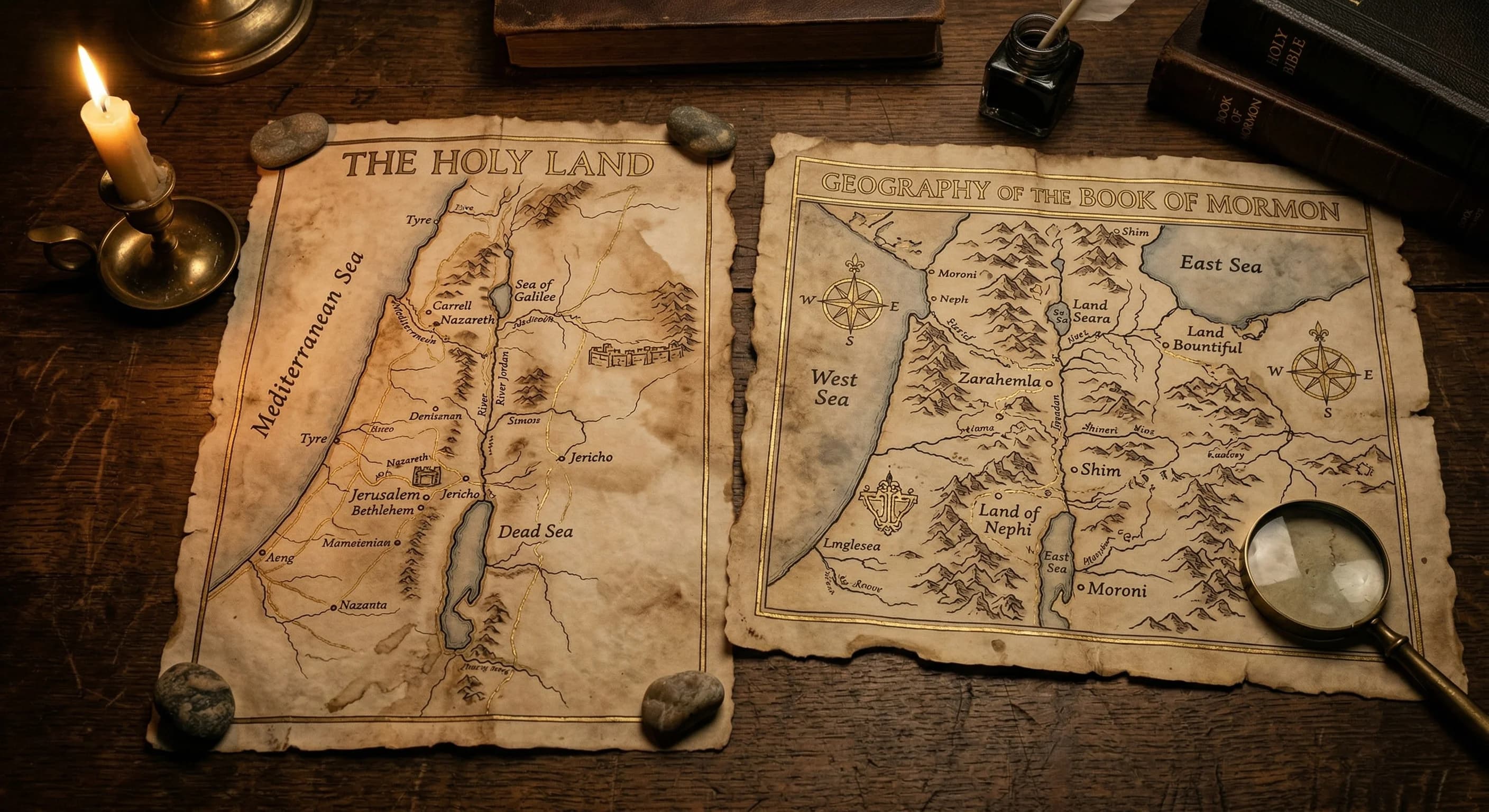
Can I see Book of Mormon geography on the map?
The Scripture Map includes locations associated with the Book of Mormon narrative where geographic connections to the Old World are established, such as Jerusalem, the Arabian Peninsula route of Lehi's family, and the land of Bountiful. Internal New World geography is not plotted because specific locations have not been authoritatively identified by the Church.
Are the biblical locations accurate?
The locations on the Scripture Map are based on the best available archaeological and historical evidence. Well-established sites like Jerusalem, Bethlehem, Nazareth, and Rome use precise coordinates. Sites with less certainty, such as the exact location of Mount Sinai or the Red Sea crossing point, use the most widely accepted scholarly positions and are noted accordingly.
Start Using Scripture Map
Full access to Scripture Map and 40+ other study tools.
Starting at $7/mo or $69.99/yr
Already have an account? Sign in